
How to call for help on the trail when there's no signal
The viral "Starlink saves lives" rescue, told honestly, and the three ways a hiker can actually call for help with zero bars.

A UK mountain rescue story went viral last week under the headline "Starlink saves lives", and the real version is better than the viral one, because it has an actual lesson in it.
Here's what happened, what the retellings got backwards, and the three ways you can genuinely call for help from a trail with zero bars.
As someone who runs and hikes in places where my phone is a camera and nothing else, this is a topic I take personally. My own fallback is the satellite SOS built into my iPhone, and by the end of this guide you'll know whether that's enough for how you get outside, or whether you should step up to a dedicated device.
If you purchase through links in this article, we may earn a small affiliate commission. For exclusive content, our newsletter, and more perks, become a member, it's free! -The Trail & Kale team ✌🏼
90 days of supplies? What governments actually recommend
Where the 90-day number really comes from, what governments actually tell households, and a tiered plan built from gear you already own.
 Alastair Dixon
What actually happened in Cumbria
On August 9, 2026, a walker near Wetheral in northern England tripped and tumbled down a steep bank, landing near a hornets' nest.
Penrith Mountain Rescue logged the callout like this: the team happened to be training at Mardale Head, a spot with no phone signal, and the ambulance service's callout only reached them "via Starlink in our control vehicle".
Twenty-seven volunteers then spent 3 hours and 45 minutes on the job, hauling the casualty up the bank with a rope system and carrying them to a waiting ambulance.
So yes, satellite internet played a real part, and it's genuinely changing rescue-team logistics. But notice which end of the rescue it was on: Starlink connected the rescuers' vehicle, not the person at the bottom of the bank. Nobody fell down a slope and got saved by a dish in their backpack.
The lesson for the rest of us isn't so much that "Starlink saves lives", It's that dead zones are real enough that even the rescue team needed satellite backup, and what saves you in one is whatever you're carrying.
The assumption that gets people into trouble
Most of us hike on a quiet assumption that if things go wrong, a bar of signal will turn up. Walk uphill a bit, hold the phone to the sky, it'll be fine.
Sometimes it is. But terrain blocks signal in exactly the places people get hurt; valley bottoms, gorges, dense forest, the far side of the ridge. The spot where you fall is, almost by definition, not a spot you chose for its coverage.
Plan for zero bars and everything else is a bonus. Here are the three real ways to do that, from the one already in your pocket to the one built like a flare gun.
Option 1: the satellite SOS already in your phone
If you carry an iPhone 14 or newer, you already have Emergency SOS via satellite; when you dial emergency services with no coverage, the phone walks you through pointing at a satellite and texting dispatchers directly.
Apple has kept extending free access for older models, and newer iOS versions even added regular Messages via satellite in the US. Recent Google Pixels have their own version.
This is my personal fallback on day runs and hikes, and it has two honest limitations:
- It needs a working, charged phone, which is also your map, camera, and flashlight, so the battery is doing a lot of jobs.
- And it needs you to be able to see sky, with service limited in some regions and at very high latitudes.
Who it suits: day hikers and trail runners on reasonably traveled ground, who want a real safety net without buying anything extra.
The non-negotiable: set it up and try it before you need it. Apple includes a demo mode (Settings, then Emergency SOS) that lets you practice the satellite connection flow without calling anyone. Do it at home, not on a ledge.
Option 2: a two-way satellite messenger
Dedicated messengers like the Garmin inReach line talk to commercial satellite networks and give you the thing a panicking brain wants most: conversation.
You can text rescuers the nature of the problem, text your family that you're OK, and share your track as you move.
The Colorado Search and Rescue primer on these devices is the best plain-language comparison I've found: messengers are two-way, rechargeable, and run on subscription plans, and their transmitters are less powerful than a PLB's (1.6 watts versus 5), which can matter under dense canopy.
Who it suits: backpackers, solo runners, and anyone who goes out often or deep. The subscription stings, but two-way contact is the feature that turns a bad night into a managed one, and SAR teams love being able to ask you questions before they commit resources.
Option 3: a personal locator beacon (PLB)
The PLB is a great option, and it's beautifully simple. It's a one-way distress beacon on 406 MHz, the dedicated international rescue frequency, transmitting at 5 watts through the government-run satellite system that NOAA coordinates in the US.
No subscription, ever. You register it free at NOAA's beacon registration site, which tells rescuers who you are and who to call to check the alert is real. The battery lasts years in your pack, it activates manually, and once triggered it broadcasts for at least 24 hours while rescuers home in on it.
What it won't do is talk: no messages out, no reassurance in. You pull the trigger and trust the system.
Who it suits: the most remote trips, solo travelers, international adventures, and anyone who hates subscriptions. Plenty of serious backcountry users carry a PLB alongside a messenger, since each covers the other's weakness.
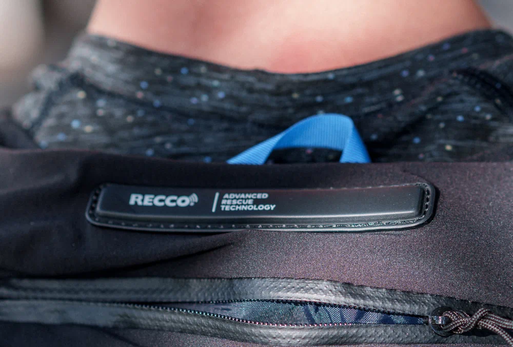
BONUS: Some premium outdoor apparel include RECCO rescue technology
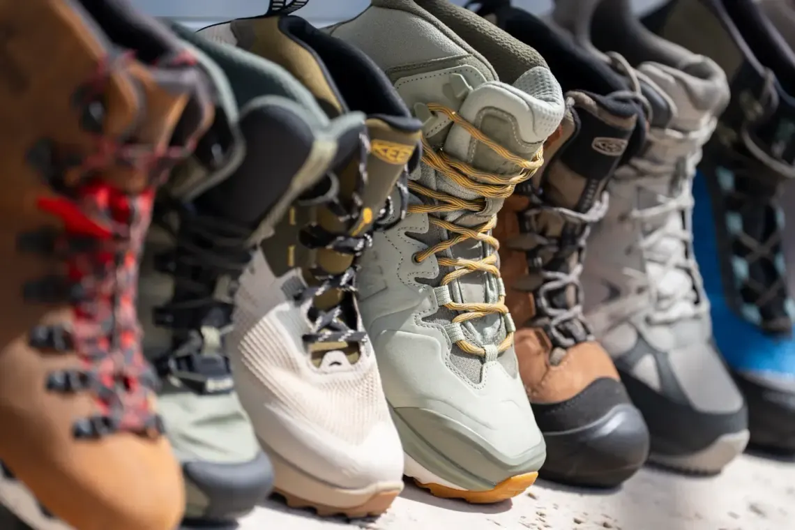
RECCO Rescue Technology is a great passive alternative that helps responders locate you in an emergency; it's a small strip that is embedded in a pack, or apparel, sometimes even in shoes.
RECCO®: The Rescue Technology That Could Save Your Life on Remote Trails
The passive radar reflector that's now coming for your summer trail gear
 Alastair Dixon
So which one should you carry?
Match the tool to how you actually get outside:
- Casual day hikes, modern iPhone in pocket: set up and test satellite SOS, tell someone your plan, and you're meaningfully safer than most people on the trail.
- Regular backcountry miles, overnights, or solo running: add a two-way messenger. It's the one most worth its weight for most readers of this site.
- Expeditions, deep solo trips, or subscription allergy: a PLB, registered with NOAA, living permanently in your pack lid.
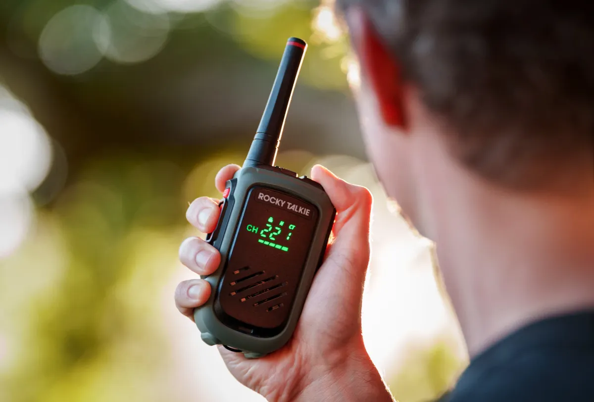
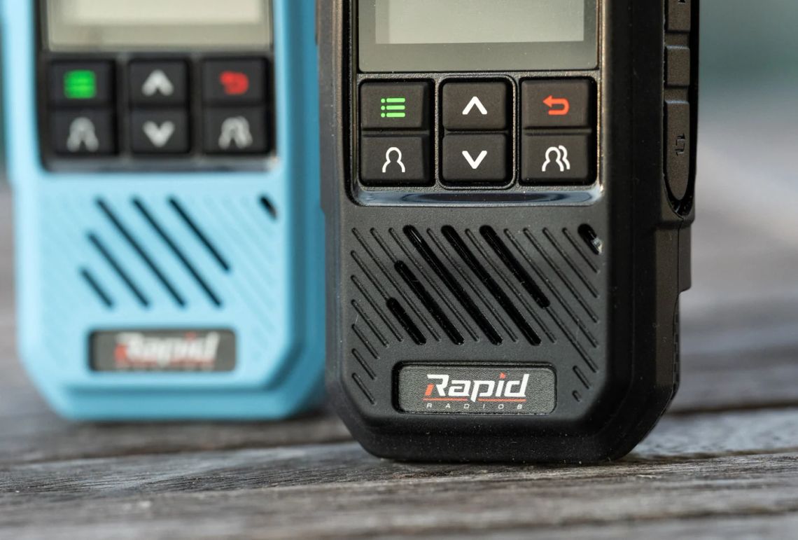
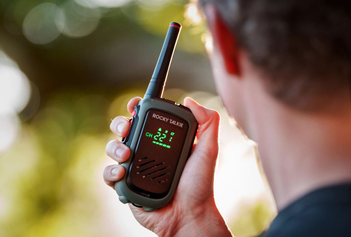
One thing none of these replace: radios like the Rocky Talkie 5 Watt keep your own group connected in the moment, which prevents emergencies, but they don't call in a rescue.
Rocky Talkie 5 Watt Expedition Radio Review
This two-way radio redefines rugged, reliable communication with extended battery life, making it our top choice for outdoor adventurers.
 Alastair Dixon
And as the Cumbria story shows, satellite internet is transforming the rescuers' side of the equation; I've written about what it takes to run Starlink when the grid is down, but it's not something a hiker carries up a trail.
Does Starlink work in a power outage? Yes, with one catch
The satellites don't care about your local blackout, but your dish does. The real wattage numbers and the setup that keeps you online.
 Alastair Dixon
Before you go: the five-minute checklist
- Tell someone your route and your turnaround time. The oldest tool on this list still triggers more rescues than any gadget.
- Test your phone's satellite SOS in demo mode so the pointing-at-the-sky part isn't new to you when your hands are shaking.
- If you carry a PLB, register it (free, five minutes, at NOAA's beacon registration site) and keep the registration current.
- Carry a small power bank. Every option above except the PLB depends on charge, and cold drains batteries fast.
- Know what "help" means where you are: 911 in the US, 999 in the UK, 112 across Europe, and in UK hills you ask for the police, then mountain rescue.
FAQ
Does my iPhone have satellite SOS?
iPhone 14 and newer models include Emergency SOS via satellite, and Apple has repeatedly extended free access for older models. Test it in the demo mode under Settings before your next trip.
Do personal locator beacons need a subscription?
No. PLBs use the government-run 406 MHz satellite system, and registration with NOAA is free. That's their biggest advantage over satellite messengers, which need a monthly plan.
What's the difference between a PLB and a satellite messenger?
A PLB is a one-way SOS beacon: more transmitting power, no subscription, no conversation. A messenger is two-way: you can text rescuers and family, share your location, and pay a subscription for the privilege. Many serious backcountry travelers carry both.
Can Starlink on a phone call for help?
Direct-to-cell satellite texting is rolling out on some carriers, and it's promising, but coverage and features are still uneven. Treat it as a bonus layer, not your rescue plan.
If you haven't already, signup to our free newsletter, for more quality outdoor content like this. -Alastair
Written by

Subscribe to new posts
Gear that earns its place, outdoors and at home | Reviews, Roundups, News









Member discussion